Mapping
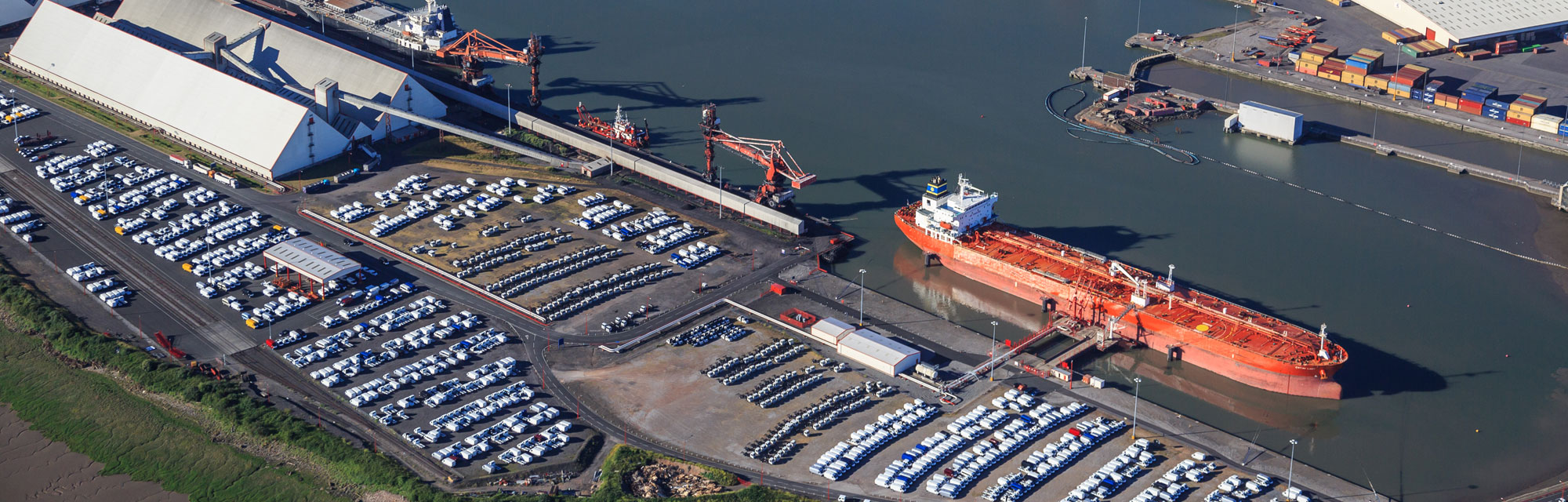
North & Letherby have access to the most advanced UAV technology (rotary and fixed wing) to collect aerial imagery and data.
Our GPS services can be used for:
- Land Sales
- Development Land
- Tenancy Plans
- Utilities
- Rights of Way
- Boundary Disputes