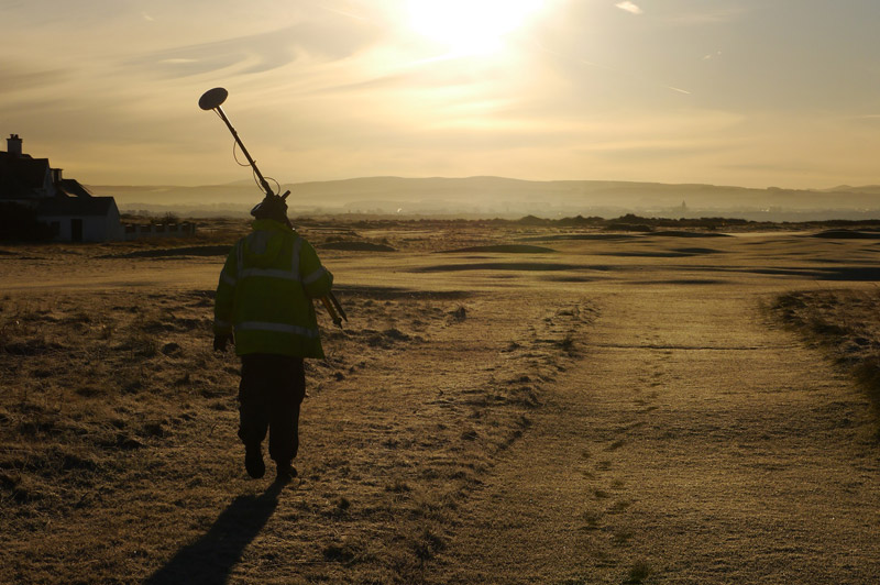
Professional Mapping & GPS
North & Letherby have access to the most advanced UAV technology (rotary and fixed wing) to collect aerial imagery and data.
Our GPS services can be used for:
- Land Sales
- Development Land
- Grants and Subsidy Scheme Plans
- Tenancy Plans
- Utilities
- Rights of Way
- Boundary Disputes
The implementation of the Basic Payment Scheme (BPS) and creation of Ecological Focus Area (EFA’S) require specific and precise mapping to ensure compliance. North & Letherby are in a prime position to help you measure these areas following the implementation of the BPS in 2015.